North Bangalore's Growth Corridor: Airport, SEZs and Industry
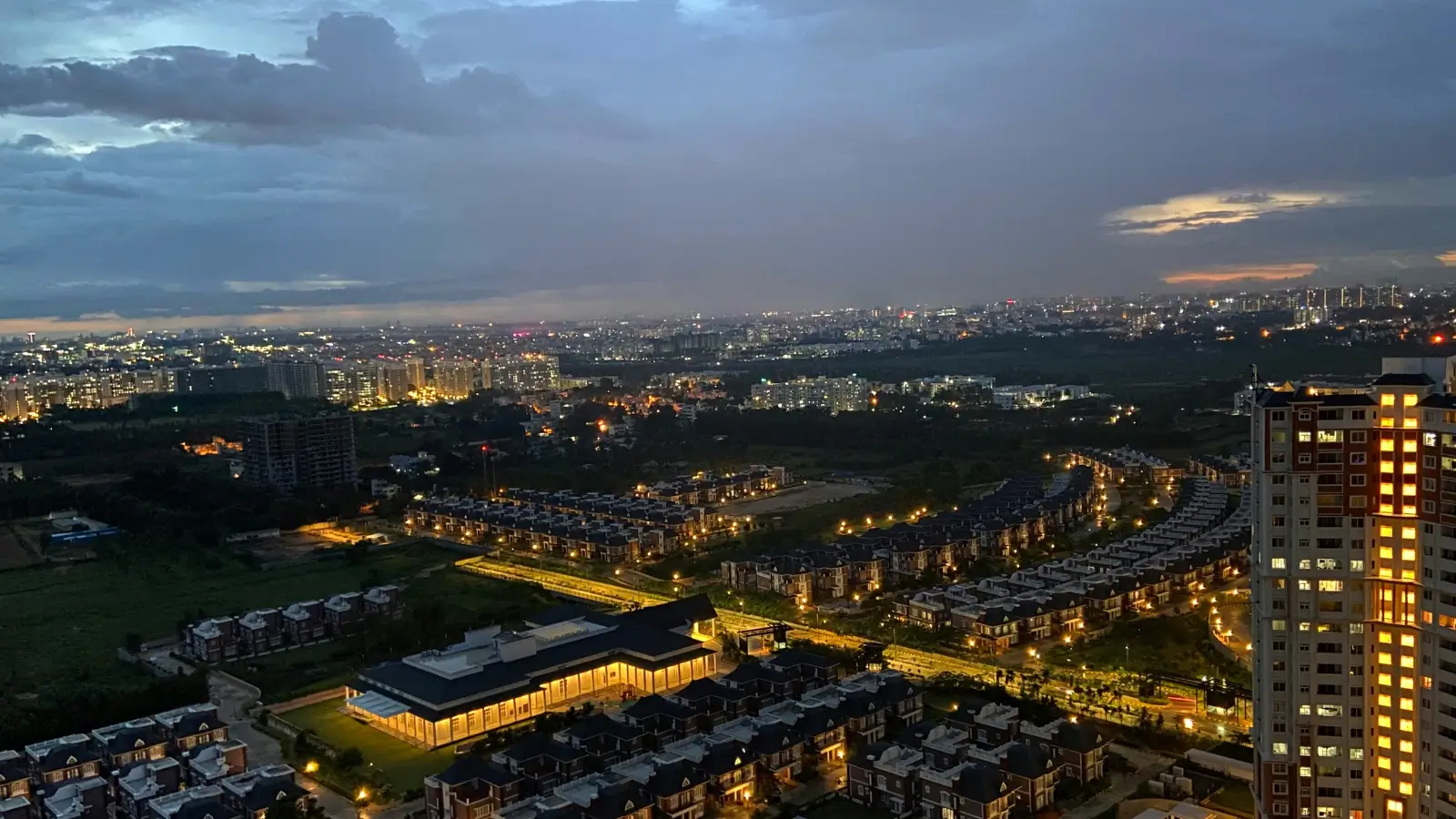
Corridors form where transport, employment and land availability overlap, and North Bangalore growth corridor development has had all three for the better...
Corridors form where transport, employment and land availability overlap, and North Bangalore growth corridor development has had all three for the better part of two decades. The airport anchored it, highways organised it, employment filled it, and land at plot scale kept it building when other belts ran out of room.
Transport forms the spine. Bellary Road carrying National Highway 44 runs north from the city through Hebbal and Yelahanka to Kempegowda International Airport, roughly 18 km from this enclave at 25–30 minutes off-peak. The Outer Ring Road handles cross-city movement, and Peripheral Ring Road improvements are expected to cut commute times toward Manyata, Whitefield and the wider ORR employment belt. Namma Metro Phase 2B Blue Line — KR Puram, Hebbal, Yelahanka, Bagalur Cross and the airport — is targeted for commissioning by mid-2026.
Employment nodes sit along that spine at intervals. The KIADB Aerospace Park lies about 10 km from the enclave with Boeing, GE and Airbus suppliers clustered inside. Karle Town Centre SEZ runs around 10 km, L&T Tech Park at Raintree Boulevard about 10 km, and Kirloskar Business Park at Hebbal roughly 9 km. Manyata Embassy Business Park sits near 12 km, Bhartiya City Tech District around 13 km, and Devanahalli Business Park approximately 15 km.
Residential consequences have followed predictably. Yelahanka has posted roughly 20% price appreciation over one year, about 57% over three, close to 88% over five and around 149% over ten. Base-case appreciation is projected at 8–12% per annum, rising toward 15–20% across the metro-commissioning window. Crucially, the north still holds developable land at plot scale where southern and eastern belts have largely filled in, which is what allows large-format housing to exist here at all.
Separate the certain from the projected before you buy on any of it. Certain: the airport, the highway, the existing employment nodes and their current distances. Projected: metro commissioning timing, ring road completion, and every appreciation figure quoted above. Buy for what the corridor already delivers and treat the rest as timing that improves an already-sound position. Reviewing the how the site sits on the corridor sets out the current, measurable distances.
Related reading: Aerospace Park and SEZ Growth: North Bangalore's Demand Engine.
FAQs
What defines the North Bangalore growth corridor?
The overlap of transport — NH-44, the Outer Ring Road, the coming Peripheral Ring Road and Metro Phase 2B — with employment nodes and land still available at plot scale.Which employment nodes sit along it?
The KIADB Aerospace Park at around 10 km, Karle Town Centre SEZ about 10 km, L&T Tech Park roughly 10 km, Kirloskar Business Park near 9 km and Manyata Embassy Business Park at about 12 km.What is certain and what is projected?
The airport, highways, employment nodes and current distances are measurable. Metro commissioning timing, ring road completion and all appreciation figures are projections.
Related Articles
Infrastructure Spending in Bangalore and What It Does to Property
Transport investment reprices land more reliably than almost any other public spending, which is why Bangalore infrastructure spending real estate...

Stamp Duty and GST on Property in Karnataka: A Buyer's Guide
Two statutory charges apply to almost every property purchase in the state, and at ultra-luxury ticket sizes they stop being administrative details. Stamp...

How RERA Changed Home Buying in Karnataka
Before registration became mandatory, a buyer's main protection was the developer's reputation. Understanding how RERA changed home buying Karnataka...
How Bangalore's IT and Startup Economy Drives Housing Demand
Housing demand in this city follows employment more directly than it follows infrastructure, and Bangalore IT economy housing demand patterns show it...