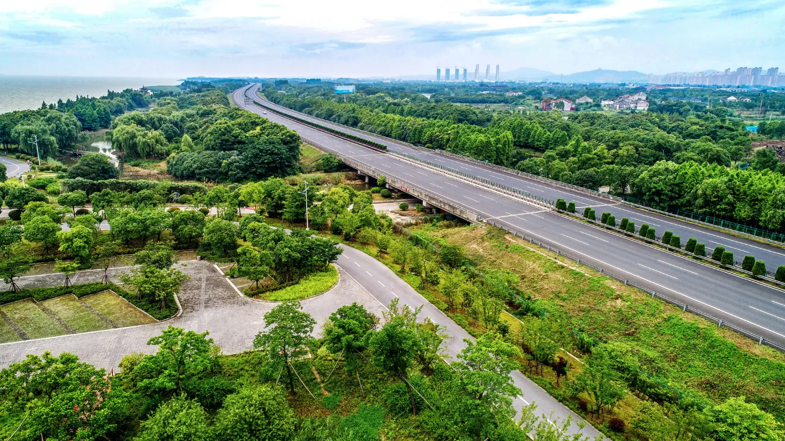
One road organises this entire belt. Bellary Road, carrying National Highway 44, runs north from the city through Hebbal and Yelahanka to Kempegowda...
One road organises this entire belt. Bellary Road, carrying National Highway 44, runs north from the city through Hebbal and Yelahanka to Kempegowda International Airport, and any assessment of Bellary Road NH 44 airport corridor property begins with what that single axis connects. Everything else in the corridor — retail, hospitality, employment, residential supply — has arranged itself around it.
Distances along the spine are worth holding in mind together. From the Yelahanka–Devanahalli axis, the airport lies roughly 18 km north at 25–30 minutes off-peak. The Hebbal flyover sits about 10 km south, and MG Road with the central business district around 22 km at 45–55 minutes. Manyata Embassy Business Park falls near 12 km, and Karle Town Centre SEZ approximately 10 km. Nearly every regular trip a household in this pocket makes uses some portion of that axis.
Hospitality and retail have followed the road rather than the residents. Hyatt Centric Hebbal and Olive Hotel Hebbal sit around 10 km out, Courtyard by Marriott Hebbal about 11 km, Hilton Bengaluru Embassy Manyata and Four Seasons at Embassy ONE roughly 12 km, and Taj Bangalore near the airport approximately 16 km. Phoenix Mall of Asia lies around 10 km and Esteem Mall about 6 km, with Yelahanka New Town at roughly 4 km serving daily requirements.
Proximity to a highway and frontage onto one are different propositions, and the distinction matters most at the top of the market. Highway access delivers the drive times above; highway frontage delivers noise, dust and headlight glare into a bedroom. A gated enclave set off the axis rather than onto it captures the first without the second, which is why setback and internal road hierarchy deserve as much attention as the distance figure itself.
Peak behaviour is the honest caveat. Bellary Road congests significantly during morning and evening windows, and the Hebbal flyover is a known pinch point — every timing above assumes off-peak conditions. Drive the route at the hours you would genuinely use before treating any figure as settled. Consulting the how the site sits against the highway gives you the full table alongside the enclave's position relative to the highway.
Related reading: How Far Is Yelahanka from Kempegowda International Airport?.
FAQs
What does Bellary Road connect?
It runs north from the city through Hebbal and Yelahanka to Kempegowda International Airport, carrying National Highway 44.How far is the airport along this road?
Roughly 18 km at 25–30 minutes off-peak from the Yelahanka–Devanahalli axis.Does highway proximity mean noise?
Frontage does. A gated enclave set off the axis captures the access without the noise, dust and glare, which is why setback and internal road hierarchy matter.
Related Articles
Infrastructure Spending in Bangalore and What It Does to Property
Transport investment reprices land more reliably than almost any other public spending, which is why Bangalore infrastructure spending real estate...

Stamp Duty and GST on Property in Karnataka: A Buyer's Guide
Two statutory charges apply to almost every property purchase in the state, and at ultra-luxury ticket sizes they stop being administrative details. Stamp...

How RERA Changed Home Buying in Karnataka
Before registration became mandatory, a buyer's main protection was the developer's reputation. Understanding how RERA changed home buying Karnataka...
North Bangalore's Growth Corridor: Airport, SEZs and Industry
Corridors form where transport, employment and land availability overlap, and North Bangalore growth corridor development has had all three for the better...